
Mastering Avalanche Terrain Assessment for Backcountry Skiing
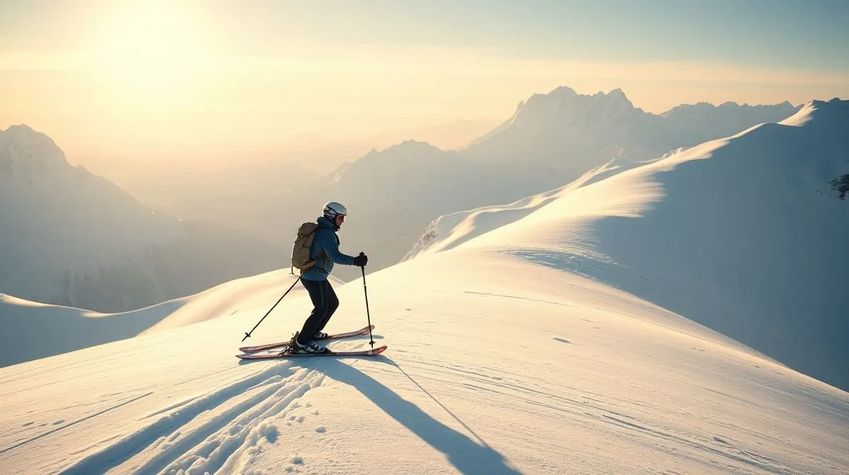
Imagine the silence. The crisp bite of the mountain air. The vast, untouched canvas of fresh powder stretching out before you, beckoning you deeper into the wilderness. This is the irresistible allure of backcountry skiing – an escape from crowded resorts, a pursuit of unparalleled freedom and pristine turns. But beneath this breathtaking beauty lies a formidable, often unseen, danger: avalanches. How do we reconcile this profound desire for adventure with the inherent risks?
The fundamental problem for any aspiring or experienced backcountry enthusiast is not just the presence of avalanches, but the challenge of accurately identifying and navigating the terrain where they are most likely to occur. It's a complex equation involving snow science, weather patterns, historical data, and critical decision-making under pressure. Without a robust understanding of how to read the landscape and the snowpack, that dream of perfect turns can quickly turn into a nightmare.
This comprehensive guide is your solution. By the end of this reading, you will possess a deeper understanding of the principles, tools, and techniques required for effectively assessing avalanche terrain for backcountry skiing. We will equip you with the knowledge to make informed decisions, mitigate risks, and ultimately, enhance your safety and enjoyment in the magnificent, yet unforgiving, winter mountains.
The Allure and the Risk: Why Backcountry Calls
Backcountry skiing represents the pinnacle of freedom for many winter sports enthusiasts. It offers an unparalleled connection to nature, the thrill of earning your turns, and the reward of skiing untracked powder far from the madding crowds. This pursuit of solitude and adventure draws thousands to the mountains each year, seeking experiences that resort skiing simply cannot provide.
The Untouched Powder Dream
There's a unique satisfaction in earning every turn. The effort of the uphill climb, the quiet contemplation of the landscape, and then the exhilarating descent through untouched snow is a deeply rewarding cycle. This dream of pristine powder is a powerful motivator, pushing skiers and riders further into remote, uncontrolled environments.
Understanding the Avalanche Threat
While the rewards are immense, so are the risks. Avalanches are a natural phenomenon in mountainous terrain with snow cover, and they pose the single greatest objective hazard to backcountry travelers. Understanding the different types of avalanches is the first step towards recognizing the danger. Slab avalanches, which involve a cohesive layer of snow sliding over a weaker layer, are responsible for the vast majority of avalanche fatalities. Other types include loose snow avalanches, wet avalanches, and glide avalanches, each with their own characteristics and triggers.
The Foundations of Avalanche Terrain Assessment
Effective avalanche terrain assessment is not a skill you acquire overnight; it's a continuous learning process built on education, experience, and the right equipment. It begins long before you even step foot on the snow.
Education is Paramount
Formal avalanche education is the cornerstone of safe backcountry travel. Courses like those offered by the American Institute for Avalanche Research and Education (AIARE) in the US, or Avalanche Canada's AST (Avalanche Skills Training) programs, provide structured learning environments. These courses cover snow science, terrain recognition, decision-making frameworks, and rescue techniques. They are indispensable for anyone serious about venturing into avalanche terrain.
Gear Up for Safety
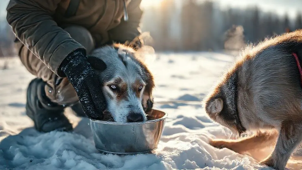
Even the most skilled decision-makers can be caught in an avalanche. Therefore, carrying essential safety gear and knowing how to use it is non-negotiable. Every member of a backcountry group must carry and be proficient with:
- Avalanche Transceiver: A device that sends and receives a radio signal, used to locate buried victims.
- Shovel: Essential for digging out buried companions. A strong, metal shovel is preferred.
- Probe: A collapsible pole used to pinpoint the exact location of a buried victim before shoveling.
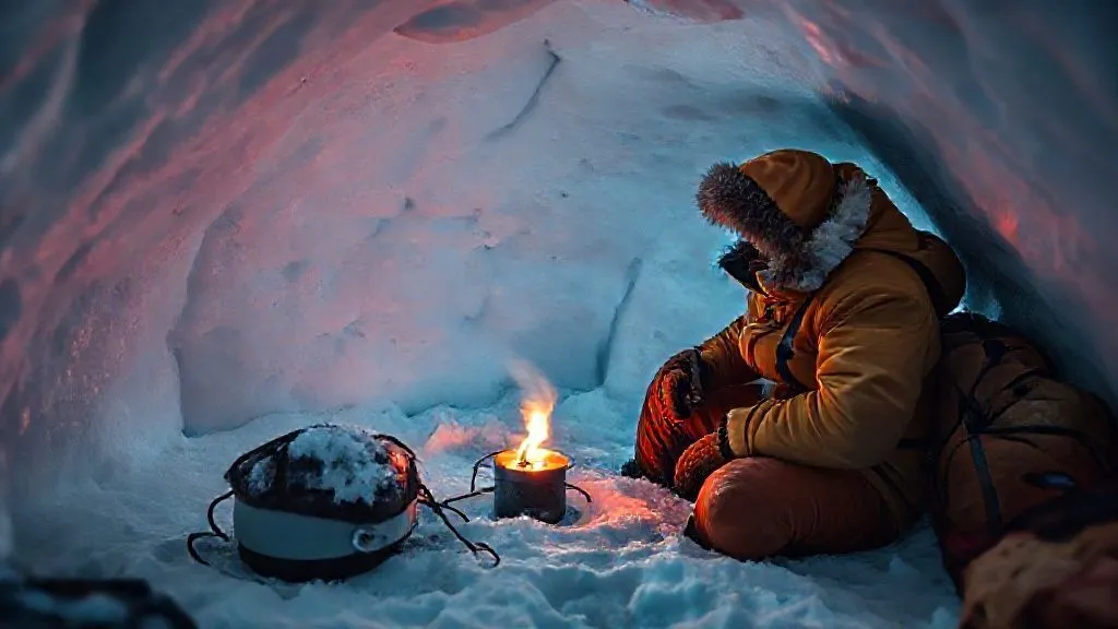
Beyond these, a well-stocked first-aid kit, emergency shelter, navigation tools, and appropriate clothing are also critical components of your safety kit.
Key Factors in Terrain Analysis
When you're out in the field, reading the terrain is a dynamic process that combines observation with knowledge of how snow interacts with the landscape. Several key factors dictate avalanche potential.
Slope Angle: The Primary Culprit
The angle of the slope is arguably the most critical factor in avalanche formation. Most avalanches occur on slopes between 25 and 45 degrees. Slopes steeper than 45 degrees tend to slough off snow more frequently, preventing large slabs from building up, while slopes flatter than 25 degrees generally lack the gravitational pull to initiate an avalanche. However, it's crucial to remember that slopes below 25 degrees can still be runout zones for avalanches originating higher up.
- Less than 25 degrees: Generally safe from direct avalanche release, but can be runout zones.
- 25-30 degrees: Avalanches possible, especially with weak snowpack or heavy new snow.
- 30-45 degrees: The 'sweet spot' for slab avalanches. Highest risk zone.
- Greater than 45 degrees: Frequent sloughing, less likely to hold large, dangerous slabs.
Aspect and Elevation: Sun, Wind, and Snowpack
The aspect (direction a slope faces) and elevation significantly influence how sun and wind affect the snowpack. South-facing slopes receive more direct sunlight, leading to more melt-freeze cycles, which can stabilize or destabilize the snow depending on conditions. North-facing slopes often hold colder, weaker snowpack for longer periods. Wind is a powerful sculptor of snow, transporting it from windward to leeward slopes, where it deposits as dangerous wind slabs that can be highly unstable. Higher elevations typically experience colder temperatures and more consistent snow conditions, but also stronger winds.
Terrain Traps: Amplifying the Danger
A terrain trap is any feature that would increase the consequences of being caught in an avalanche. Even a small avalanche can be deadly if it pushes a person into a terrain trap. Common examples include:
- Gullies or ravines that funnel snow and debris.
- Creeks or rivers where a person could be swept away or submerged.
- Cliffs or rock bands that could cause serious injury from a fall.
- Dense tree wells where a person could suffocate.
Identifying and avoiding terrain traps, or minimizing exposure to them, is a critical part of safe route planning.
Reading the Snowpack: A Deeper Dive
Beyond the visible terrain, understanding the invisible layers within the snowpack is crucial for accurate avalanche assessment. This requires a blend of scientific knowledge and practical observation.
Snowpack Layers and Their Significance
The snowpack is rarely homogenous; it's composed of layers, each formed under different weather conditions. Some layers are strong and supportive, while others are weak and prone to collapse. Persistent weak layers, such as faceted snow (sugar snow) or surface hoar (frost), are particularly dangerous as they can remain unstable for weeks or even months, leading to large, destructive avalanches. Understanding how these layers form and interact is key to predicting instability.
Weather's Influence on Stability
Weather is the engine of snowpack change. New snowfall adds weight and stress to existing layers. Rapid temperature changes can weaken bonds between layers or create new weak layers. Wind is perhaps the most significant weather factor, as it can quickly build dangerous wind slabs on leeward slopes, even with minimal new snow. Precipitation type, intensity, and duration all play a role in the evolving stability of the snowpack. Monitoring recent weather and forecasts is non-negotiable.
Observation Techniques
While formal snowpit analysis is complex, backcountry travelers can perform simpler observations to gauge snowpack stability. These include:
- Hand Pits: A quick way to observe snow layers and feel for hardness and bonding.
- Compression Test (CT): A common stability test where a column of snow is isolated and tapped with increasing force to identify weak layers and their reactivity.
- Extended Column Test (ECT): A larger-scale test that provides more information about propagation potential within a weak layer.
These tests, when performed correctly and interpreted within the context of the overall avalanche forecast and terrain, provide invaluable insights. For more detailed insights into snow science and observational techniques, resources like the National Avalanche Center offer comprehensive guidance.
Route Planning and Decision Making
Effective avalanche terrain assessment extends beyond simply recognizing danger; it's about strategic planning and adaptive decision-making throughout your tour.
Pre-Trip Planning: Maps, Forecasts, and Avy Bulletins
The journey to safe backcountry travel begins long before you leave home. Thorough pre-trip planning is paramount:
- Consult Avalanche Forecasts: Always check the latest avalanche bulletin for your specific region. These forecasts, issued by local avalanche centers, provide a hazard rating, explain the primary avalanche problems, and offer detailed observations.
- Study Maps and Aerial Photos: Use topographical maps to identify slope angles, aspects, terrain traps, and potential safe zones. Aerial photos or satellite imagery can provide additional visual context.
- Develop a Tour Plan: Outline your intended route, including alternative safe routes and escape options. Share your plan with someone reliable who is not with your group.
In-Situ Decision Making: The Human Factor
Even with meticulous planning, conditions can change rapidly. The 'human factor' – group dynamics, ego, familiarity with terrain, and confirmation bias – can often lead to poor decisions. Effective in-situ decision-making requires:
- Constant Reassessment: Continuously observe weather, snowpack, and terrain as you travel.
- Clear Communication: Maintain open, honest communication within your group about observations and concerns.
- Conservative Mindset: When in doubt, err on the side of caution. It's always okay to turn back.
Safe Travel Techniques
How you travel through avalanche terrain can significantly reduce your risk. Employing safe travel techniques is crucial:
- Travel One at a Time: Cross hazardous slopes one person at a time, minimizing the number of people exposed to risk simultaneously.
- Identify Safe Zones: Before crossing an exposed area, identify a safe zone on the other side where the group can regroup.
- Maintain Spacing: When traveling uphill or downhill, maintain adequate spacing between group members.
- Escape Routes: Always be aware of potential escape routes if an avalanche is triggered.
Beyond the Basics: Advanced Considerations
As you gain experience in assessing avalanche terrain for backcountry skiing, you'll develop a more nuanced understanding of complex scenarios and the subtle cues the mountain provides.
Identifying Red Flags
Certain signs in the field are immediate indicators of instability and should prompt a reassessment or a decision to turn back. These 'red flags' include:
- Recent Avalanches: The most obvious sign of instability. If you see recent slides, conditions are dangerous.
- Whumpfing: A collapsing sound or feeling under your skis as a weak layer within the snowpack collapses. This is a very strong indicator of instability.
- Shooting Cracks: Cracks that propagate out from your skis or snowmobile, indicating a slab is under stress and ready to fracture.
- Heavy New Snow or Rain: Rapid loading of the snowpack can quickly increase avalanche danger.
- Significant Temperature Swings: Rapid warming or cooling can destabilize the snowpack.
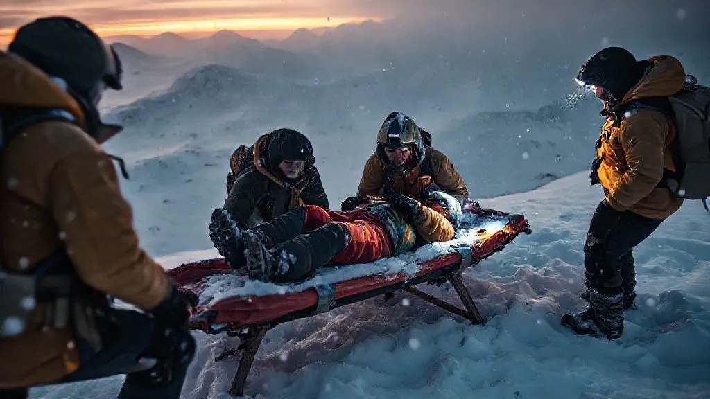
When to Turn Back: The No-Go Decision
The hardest decision in the backcountry is often the decision to turn around. It requires humility, discipline, and a commitment to safety over summit fever or the desire for perfect turns. If red flags are present, if the avalanche forecast is high, or if you simply have a bad feeling, turning back is always the right choice. No ski line is worth risking a life.
The Evolution of an Avalanche Professional
Becoming truly proficient in avalanche terrain assessment is a lifelong journey. It requires dedication, continuous learning, and a willingness to adapt as conditions change.
Continuous Learning and Practice
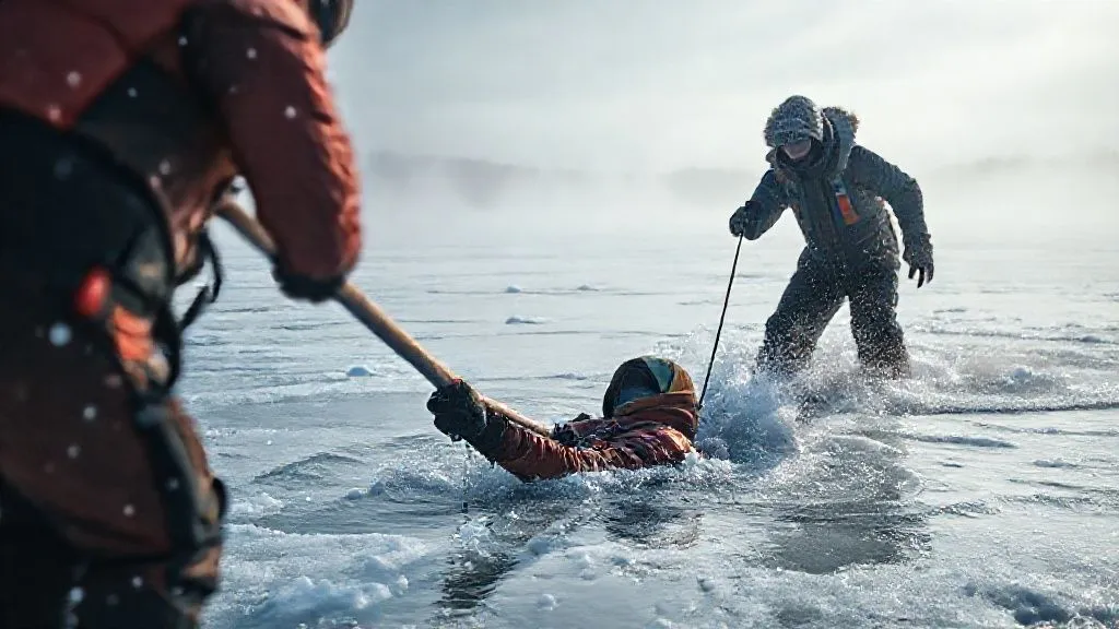
The snowpack is dynamic, and so must be your understanding. Regularly refresh your knowledge through advanced courses, workshops, and by critically reviewing incidents. Practice your rescue skills frequently; transceiver searches, probing, and shoveling must be second nature.
Mentorship and Experience
Spending time in the backcountry with experienced mentors is invaluable. Their insights, gained over years of observation and decision-making, can accelerate your learning curve. Document your observations in a field notebook, noting snowpack conditions, weather, and your decisions. This practice helps to build a personal library of experience and improve your judgment over time. As Wikipedia's detailed overview of avalanches highlights, understanding the historical context and various factors contributing to avalanche events is crucial for developing expertise.
Frequently Asked Questions (FAQ)
What's the most important tool for avalanche safety? The most important tool is knowledge and good decision-making. Essential physical tools are a transceiver, shovel, and probe, and knowing how to use them proficiently.
Can I learn avalanche assessment from a book? While books provide foundational knowledge, hands-on field experience and formal courses with certified instructors are absolutely essential for developing practical assessment skills.
How do I interpret an avalanche forecast? Avalanche forecasts use a standardized danger scale (Low, Moderate, Considerable, High, Extreme) and describe specific avalanche problems (e.g., wind slab, persistent slab) with associated locations and likelihoods. Always read the detailed description, not just the danger rating.
What is a terrain trap? A terrain trap is any feature that increases the consequences of being caught in an avalanche, such as a gully, creek bed, or dense trees, by accumulating snow or impeding escape.
When is it safest to go backcountry skiing? It's safest when avalanche danger is rated 'Low' or 'Moderate' and conditions are stable. However, 'safe' is relative; even on low danger days, careful assessment and conservative decision-making are always required.
Recommended Reading
- Unlocking Global Flavors: How to Truly Appreciate Different Coffee Cultures
- Unlock the World: Safest Ways for Solo Travelers to Meet People Abroad
- The Ultimate Guide: How to Avoid Baggage Fees on Budget Airlines!
- Unlock Ancient Worlds: How to Truly Immerse in History at Cultural Sites?
- Villa Concierge: Which Services Are Actually Worth Paying For?
Conclusion
The pursuit of backcountry skiing is a profound and rewarding endeavor, offering unparalleled experiences in nature's most majestic settings. However, it demands respect for the environment and a deep commitment to safety. By understanding the principles of assessing avalanche terrain for backcountry skiing, investing in proper education and gear, and cultivating a conservative, analytical mindset, you empower yourself to navigate these wild spaces responsibly. Remember, the mountain will always be there, but your safety is paramount. Approach each tour with humility, a thirst for knowledge, and the wisdom to turn back when conditions demand it. May your turns be deep, and your adventures safe.

Your email address will not be published. Required fields are marked *